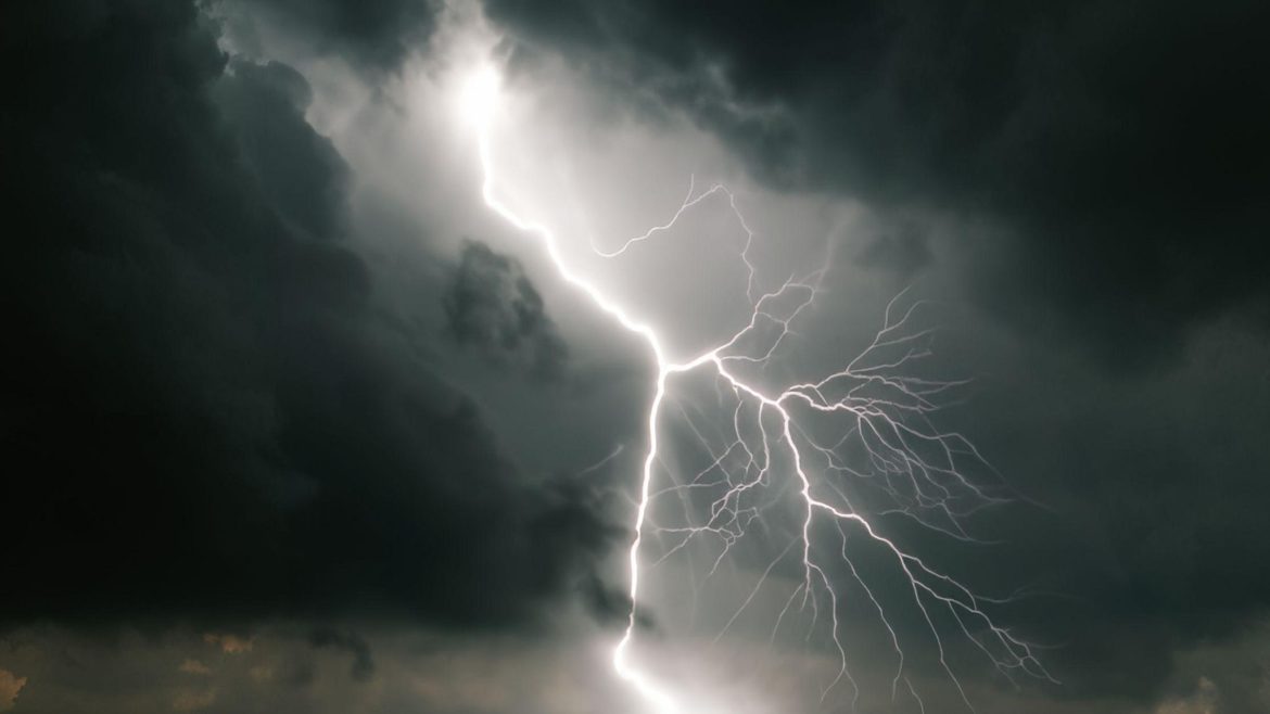
As the UK heads into the weekend, forecasters are issuing a stern warning: severe thunderstorms are expected to sweep across the country, bringing with them the possibility of heavy rain, lightning strikes, and localized flooding. With weather warnings likely to be issued, residents are being urged to stay alert and prepare for potentially disruptive conditions.
The Calm Before the Storm
After a period of relatively calm weather, the UK is now bracing for a significant change as a powerful weather system moves in from the Atlantic. The Met Office has indicated that thunderstorms could begin as early as Friday evening, intensifying throughout Saturday and potentially lingering into Sunday.
This shift in weather is expected to affect large swathes of the country, with the Midlands, the South East, and parts of Wales predicted to bear the brunt of the storms. Northern regions, including Scotland, are also at risk, though the intensity may vary.
What to Expect
The incoming storms are expected to bring a mix of weather hazards that could disrupt weekend plans for many. The key elements to watch out for include:
- Heavy Rainfall: Torrential downpours are likely, with some areas potentially seeing up to 50mm of rain in just a few hours. This could lead to localized flooding, particularly in low-lying areas and regions with poor drainage. Residents in flood-prone areas should take precautions and monitor local alerts.
- Lightning Strikes: Frequent lightning is a significant risk during these thunderstorms. The Met Office has warned that lightning strikes could cause power outages, disrupt transport networks, and pose a danger to anyone caught outdoors during the storms.
- Strong Winds: Gusty winds may accompany the thunderstorms, adding to the risk of damage. Fallen trees, broken branches, and debris could become hazards, particularly in areas with already saturated ground from previous rainfall.
- Hailstorms: In some regions, the thunderstorms could be intense enough to produce hail. Hailstones, while often small, can cause damage to vehicles, property, and crops, so it’s wise to move vehicles to shelter if possible.

Potential Weather Warnings
Given the severity of the forecasted storms, the Met Office is likely to issue weather warnings across affected regions. These warnings will be color-coded based on the level of risk, with yellow being the lowest and red the highest. Yellow warnings are most probable, but if the situation worsens, amber or even red warnings could be issued.
Residents are advised to regularly check the Met Office website or their local news sources for updates on these warnings. Staying informed will be crucial to minimizing the risks associated with these storms.
Preparing for the Weekend
With the prospect of severe weather on the horizon, there are several steps that individuals and communities can take to prepare. Here are some practical tips:
- Secure Outdoor Items: Strong winds can turn everyday objects into dangerous projectiles. Secure garden furniture, trampolines, and any loose items that could be blown away.
- Clear Drains and Gutters: Blocked drains can exacerbate flooding during heavy rainfall. Clearing gutters and drains around your property can help prevent water from pooling and causing damage.
- Charge Devices: Power outages are a possibility during thunderstorms, so make sure mobile phones, tablets, and other essential devices are fully charged in case of an emergency.
- Travel Considerations: If you have travel plans, be prepared for delays or disruptions. It may be safer to postpone non-essential journeys, especially if weather warnings are in place.
- Stay Indoors: The safest place to be during a thunderstorm is indoors. Avoid going outside unless absolutely necessary, and steer clear of windows and doors during the height of the storm.
The Bigger Picture
This weekend’s weather is a reminder of the unpredictable nature of the UK’s climate. Thunderstorms, while not uncommon, can be particularly disruptive when they occur during the summer months, a time when many are out and about or planning events.
As climate change continues to influence global weather patterns, the UK may experience more frequent and intense storms in the future. This makes it all the more important for individuals and communities to stay prepared and responsive to weather warnings.
Looking Ahead
While the storms are expected to ease by Sunday evening, the aftermath could linger into the start of next week, with potential clean-up operations needed in areas hardest hit by flooding or storm damage. The Met Office will continue to monitor the situation and provide updates as needed.
In the meantime, staying informed and taking precautions will be key to weathering the storm safely. By preparing now, the UK can minimize the impact of what promises to be a turbulent weekend ahead.


